Machine translation — this page was translated automatically from Korean and has not been reviewed yet. Names may differ from official English names. (임의 번역)
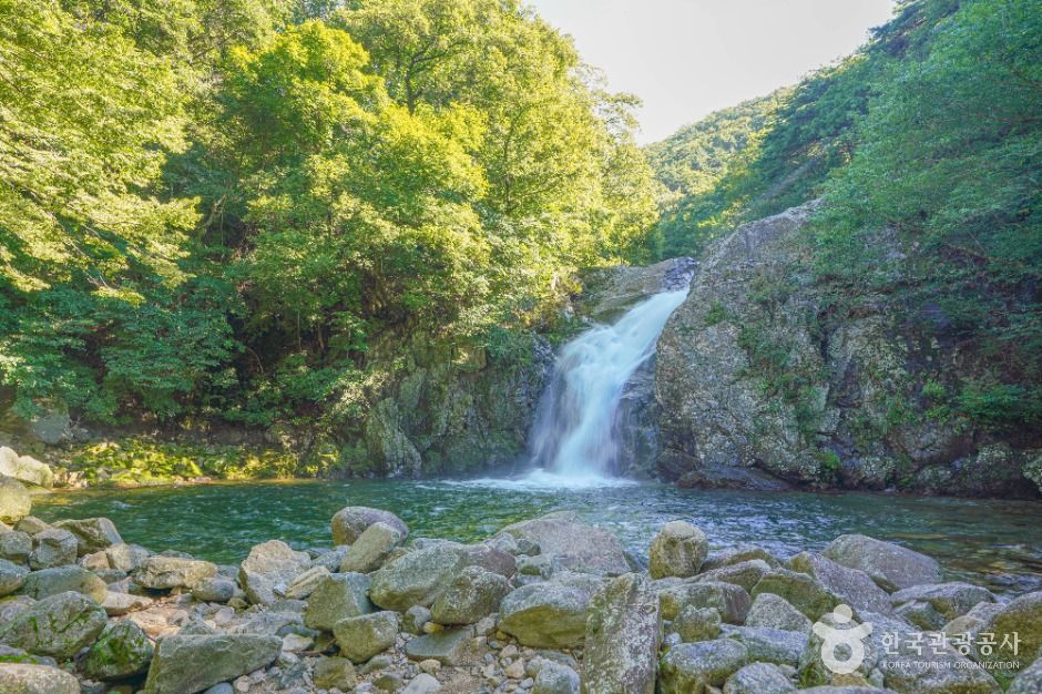 Photo: Korea Tourism Organization
Yongchu Falls
Valley & River · Gyeongbuk · 용추폭포 (Korean name)
About
Yongchu Valley at Mt. Gibaek is known as one of the three scenic spots of the old Anui County, and is also called Simjin-dong. At the entrance stands Simwonjeong Pavilion, and beyond it come into view the layered granite rocks and Cheongsindam, a pool said to clear the mind. About 3 km farther, the Iljumun gate of Jangsusa Temple stands alone past a large parking lot; the temple was burned in the Korean War and has not been rebuilt. Just above the gate is Yongchusa Temple, with Yongchu Falls roaring in front of it. At the end of the valley, Hamyang County operates Yongchu Natural Recreation Forest, with cabins, a water play area, an observation deck, and trails up Mt. Gibaek and Mt. Hwangseok.
Before you go
| Nearest emergency room | 21.8 km — 거창적십자병원 (Korean name), ER 0559443251 |
|---|---|
| Public restrooms nearby | 10 |
| Campsites nearby | 7 |
| Emergency numbers | 119 (fire & ambulance) · 122 (coast guard) · 1330 (Korea travel hotline, English) |
Sources & dates
- Name & description: machine translation of Korea Tourism Organization's Korean tourism information (KOGL), translated 2026-10-12, not reviewed yet
- Emergency rooms: National Medical Center (retrieved 2026-10-11)
GALAXY PICK introduces places and products and links to them; it is not the seller. Numbers come from Korean public data and may change — check before you go.