Machine translation — this page was translated automatically from Korean and has not been reviewed yet. Names may differ from official English names. (임의 번역)
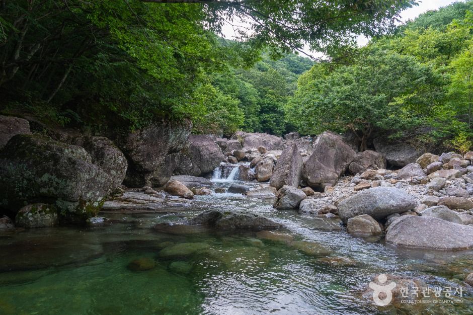 Photo: Korea Tourism Organization
About
Piagol is a valley and a representative trail of Jirisan National Park, located in Togi-myeon, Gurye County. Its water rises from the midslope of Banyabong, the second-highest peak of Jirisan, and flows through forest before joining the Seomjin River. The valley is known for its waterfalls and pools, and its autumn foliage from mid-October to early November is counted among the Ten Scenic Views of Jirisan. The name is said to come from the millet fields once common here, which gave rise to Piagol. Trails along the valley range from a 2 km round trip for beginners to an 8 km round trip to Piagol Shelter for advanced hikers.
Before you go
| Nearest emergency room | 13.8 km — 구례병원 (Korean name), ER 061780-3300 |
|---|---|
| Licensed lodging within 3 km | 1 (hotels, motels, guesthouses; pensions not included) |
| Campsites nearby | 4 |
| Emergency numbers | 119 (fire & ambulance) · 122 (coast guard) · 1330 (Korea travel hotline, English) |
Sources & dates
- Name & description: machine translation of Korea Tourism Organization's Korean tourism information (KOGL), translated 2026-10-12, not reviewed yet
- Emergency rooms: National Medical Center (retrieved 2026-10-11)
- Lodging: Ministry of the Interior and Safety, lodging business licenses (retrieved 2026-10-11)
GALAXY PICK introduces places and products and links to them; it is not the seller. Numbers come from Korean public data and may change — check before you go.